27 April 2026
I started a weight-loss journey late last year when the reality of my mortality set in. And since I am currently stuck in the containment zone called "arkansas", I decided to visit some of the State Parks and get a bit of outdoors type excersize.
So I present to you (indirect you; the intervoid) some of the photos taken from my Sanyo Xacti PD-2 or other devices plus commentary yapping!
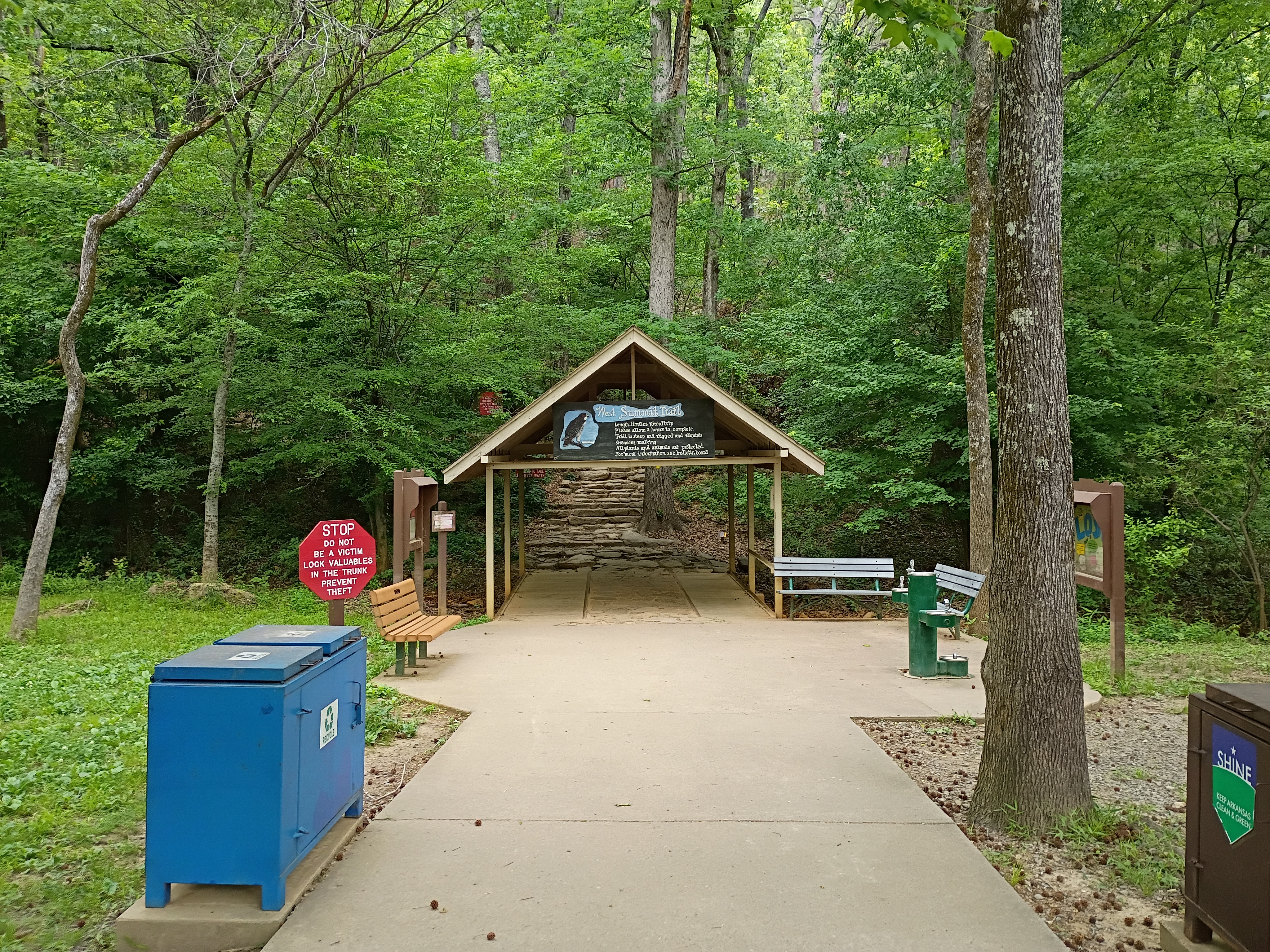
After grabbing a map from the vistor center and stamping my park passport, I decided on which trail to take. The most appealing one, of course: A hike to the summit! The map said it is a 'Hard' route, but it is only 1.5 miles!
(Thats about 240 thousand Centimeters for the voiders that won't spend 3 seconds converting it themselves)
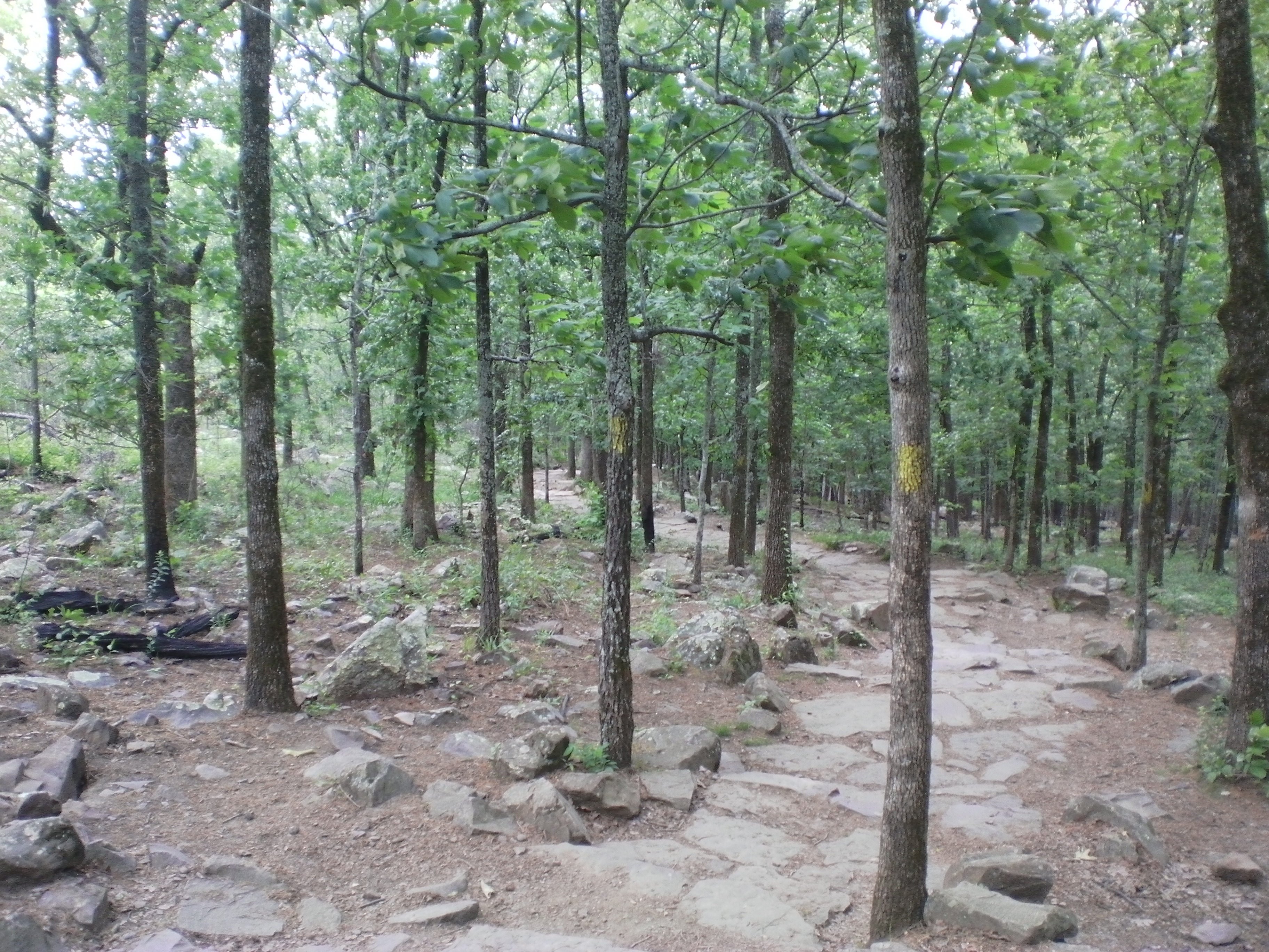
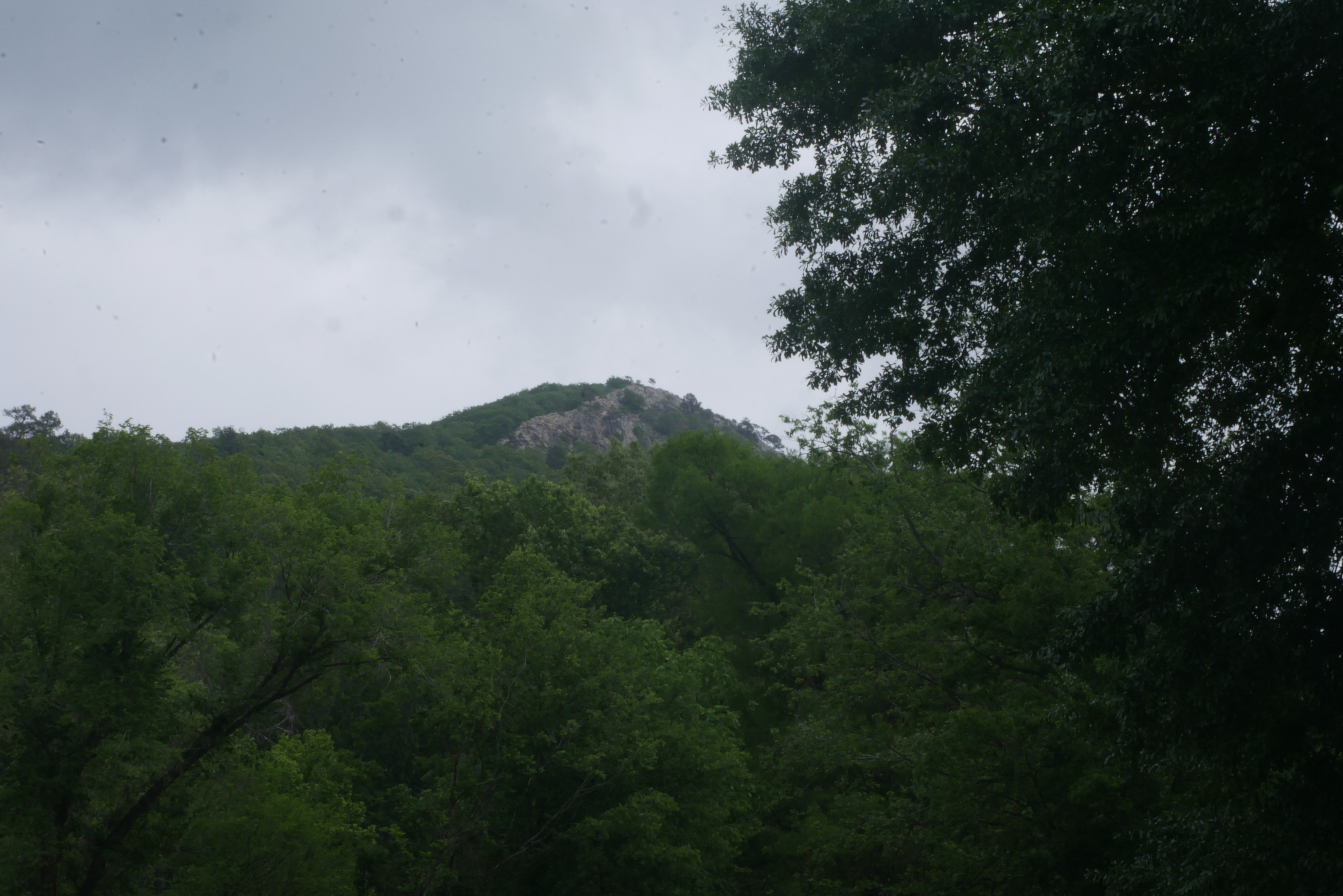
Truly how hard it could it be? Definitely something 'Corpo Hard' where they gotta say its hard to differentiate it from other trails!Starting off, the path looks easy, peaceful and tranquil! Yellow spots on trees designate the path if it wasn't obvious enough!
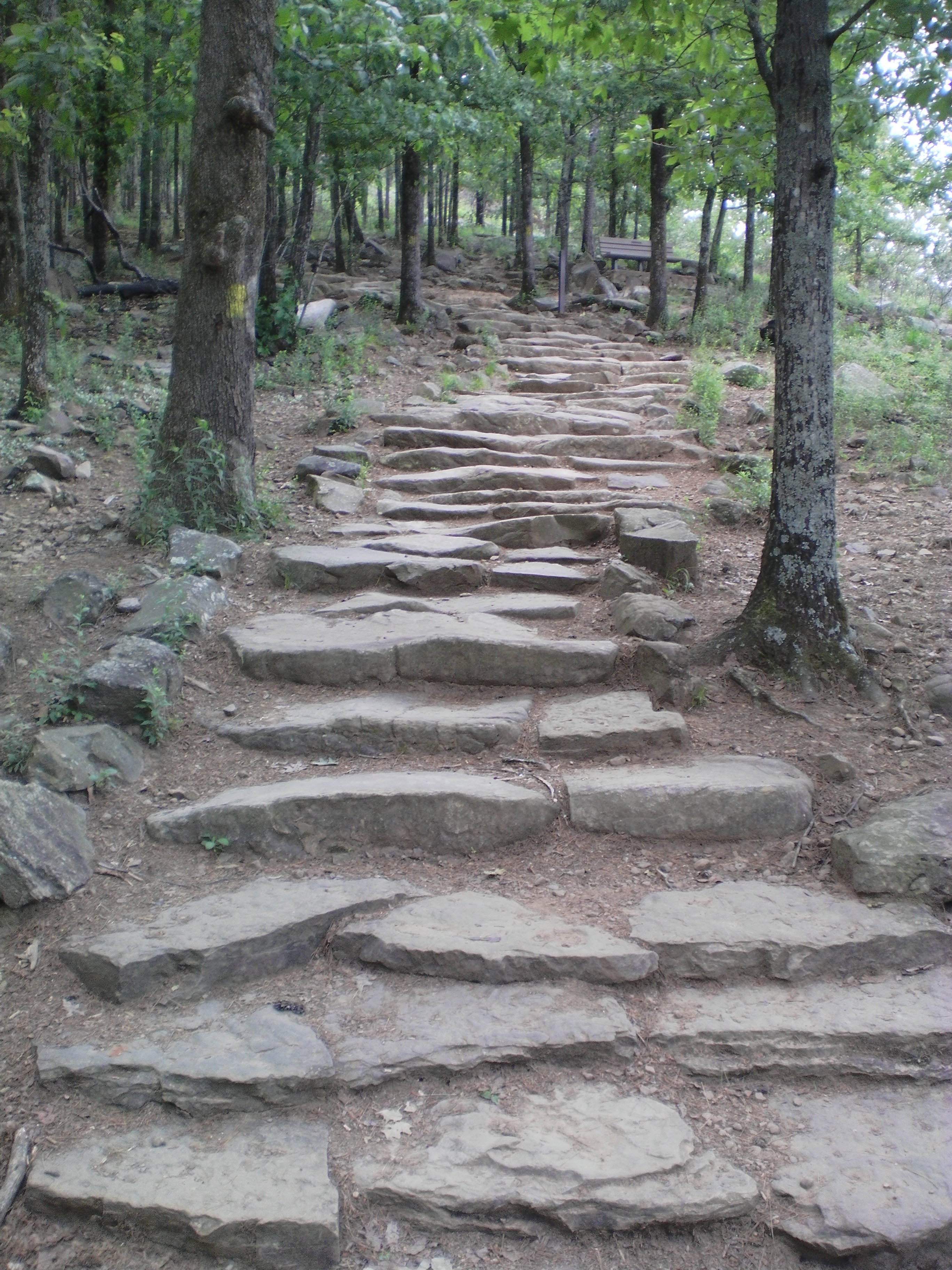
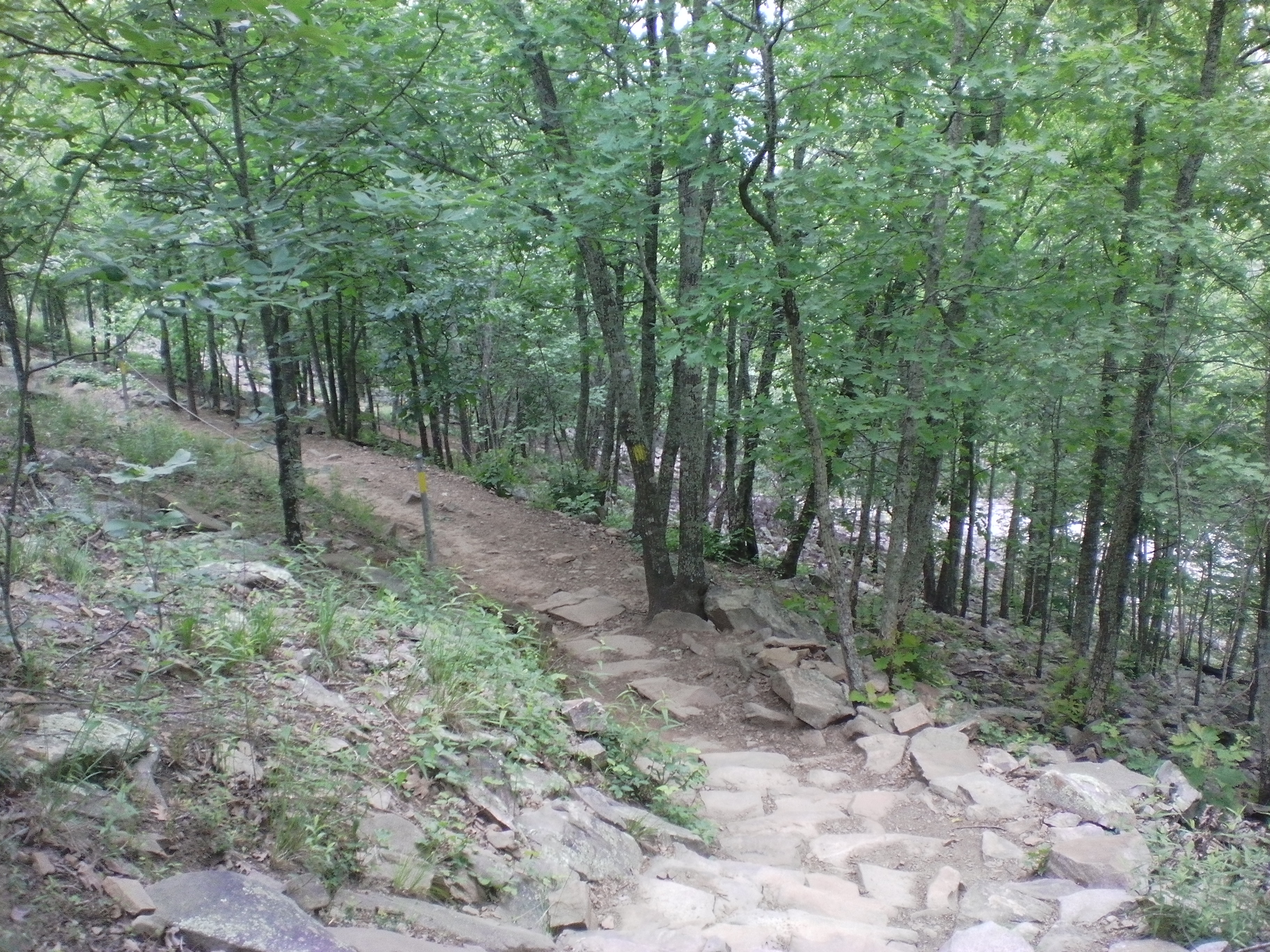
As the kids would say: "Skyrim looking ahh steps"
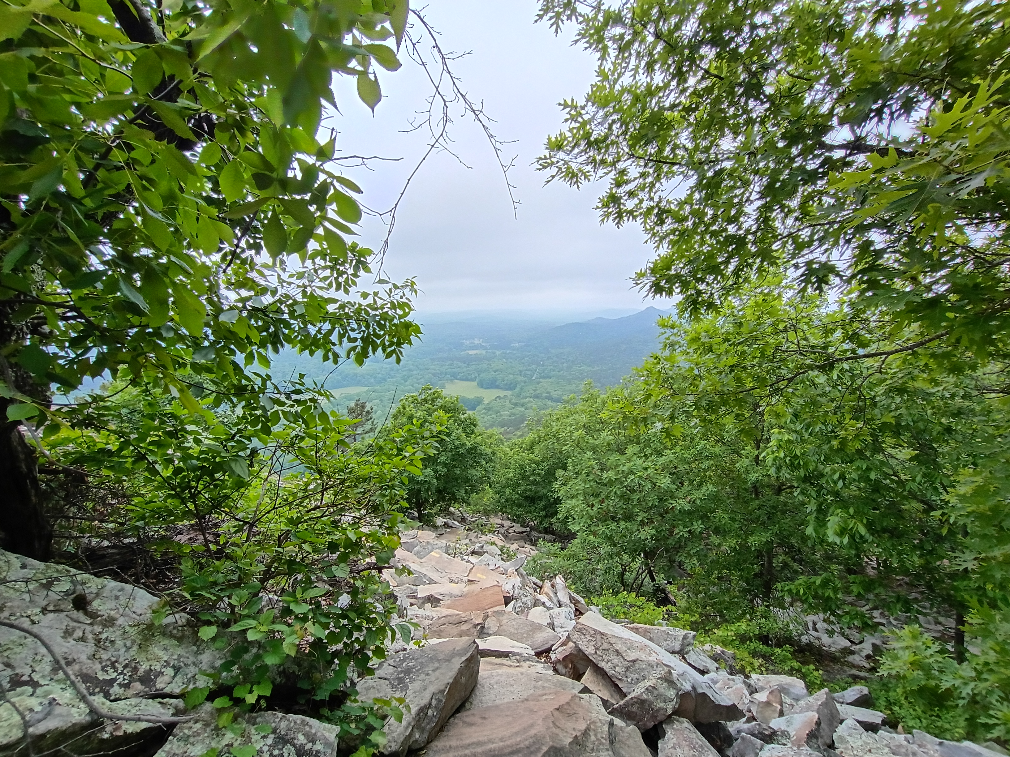
The hellish suprise more than half way up! The path becomes a rock garden and its
I persevered to the top only because I was nearly there! I took a self photo, but I ain't gonna share it with whatever other weirdos might read this!! So here is the framing shot with my bag!!!
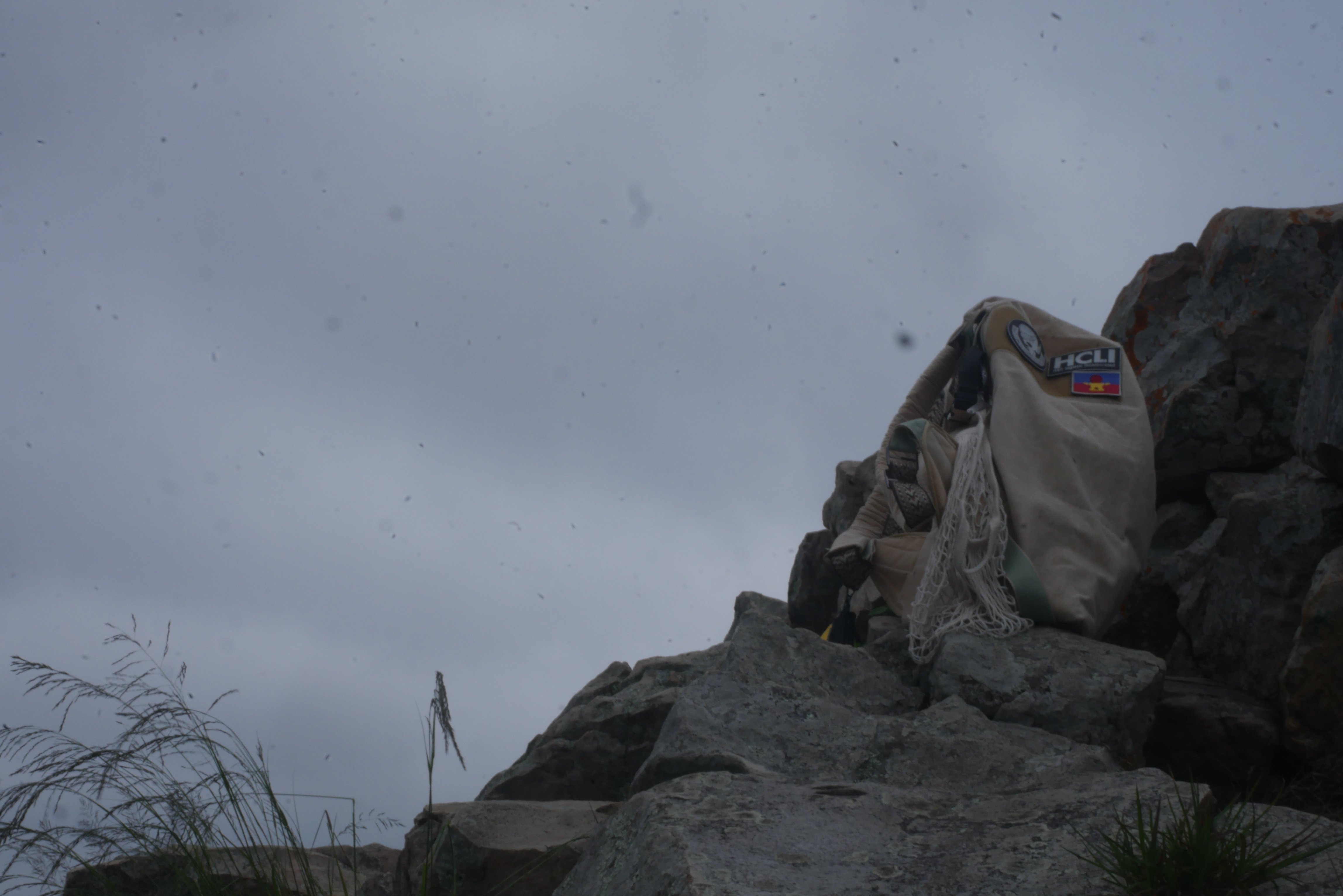
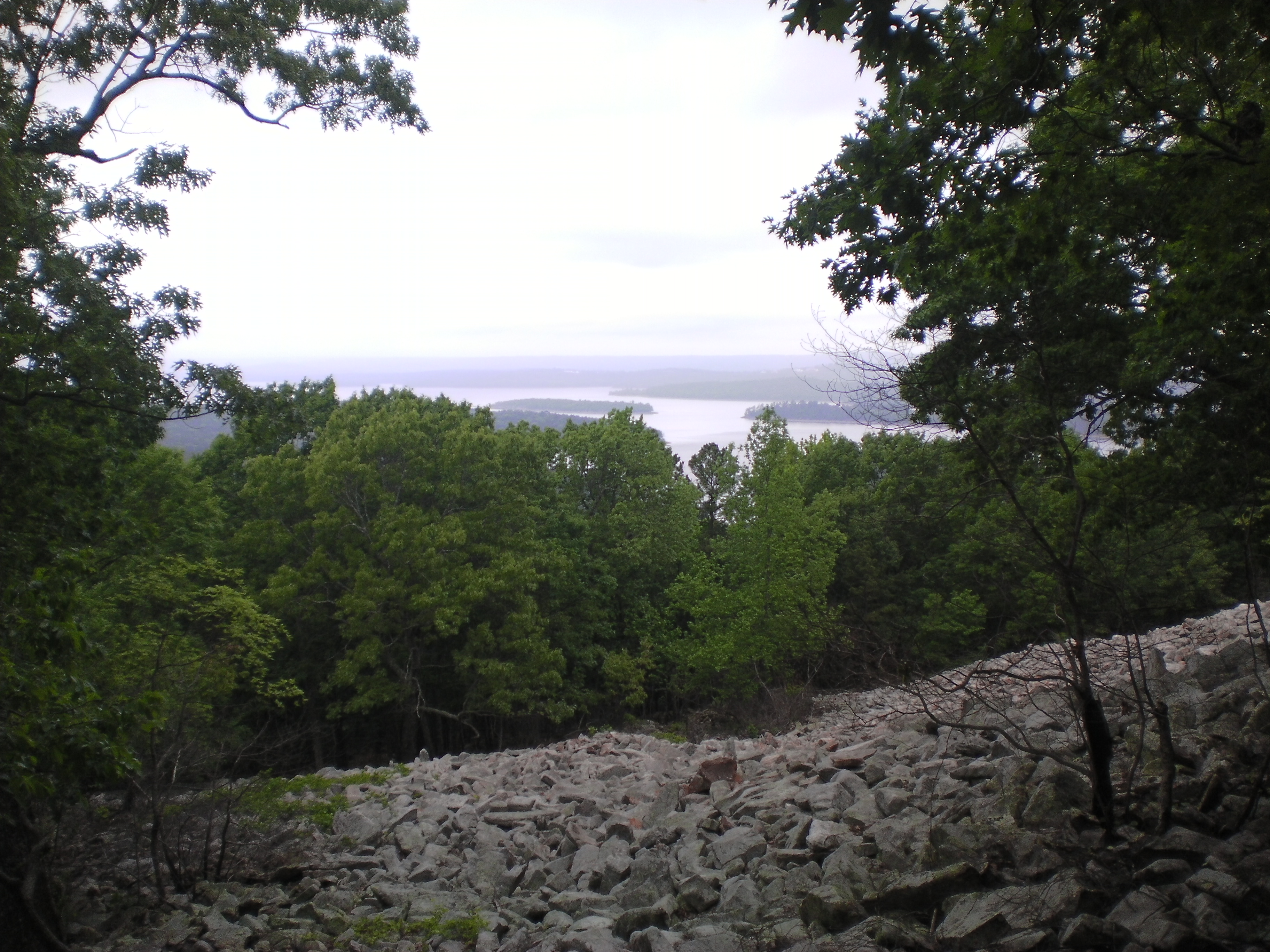
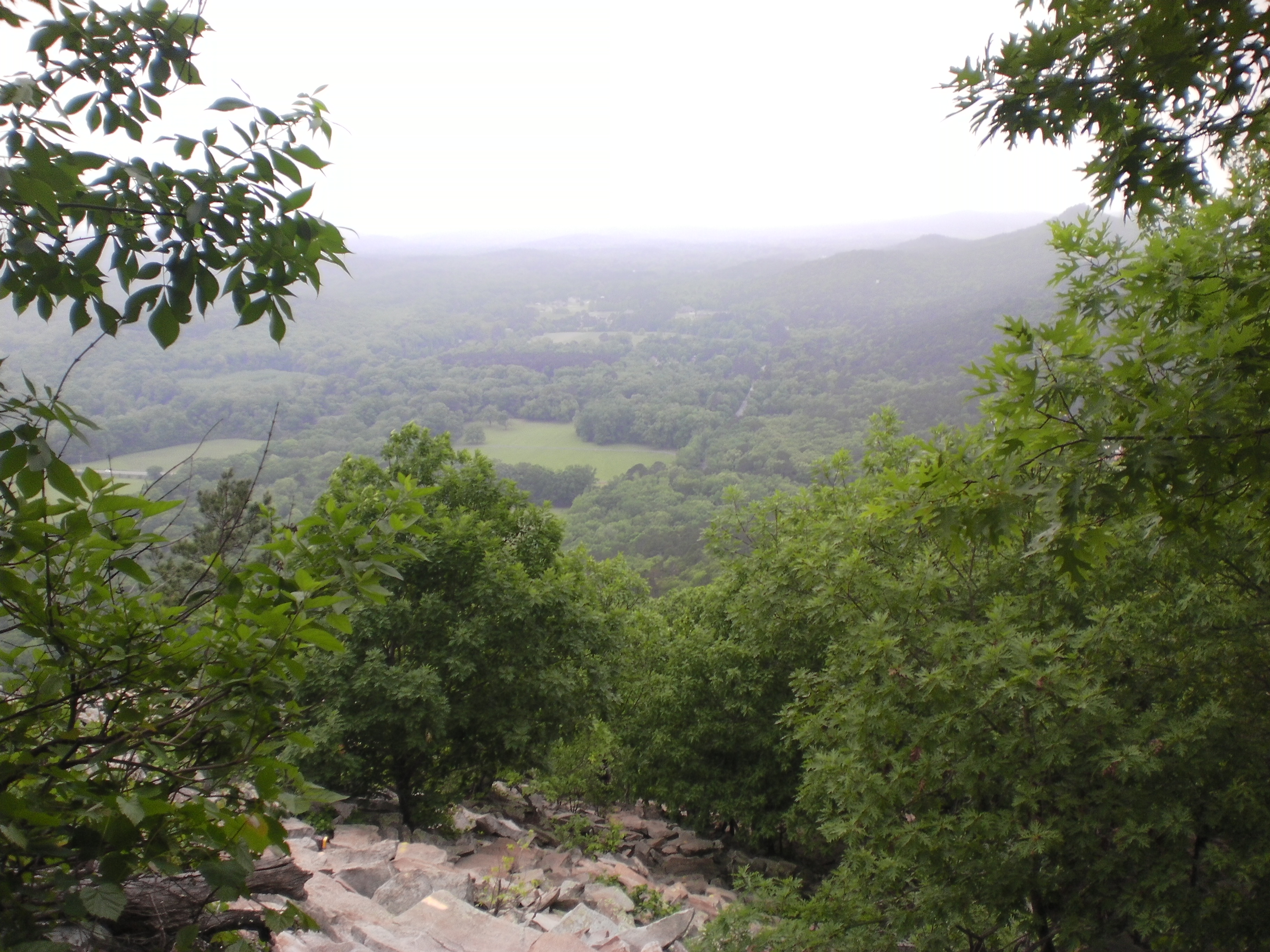
Low angle because the only thing above me was the clouds.
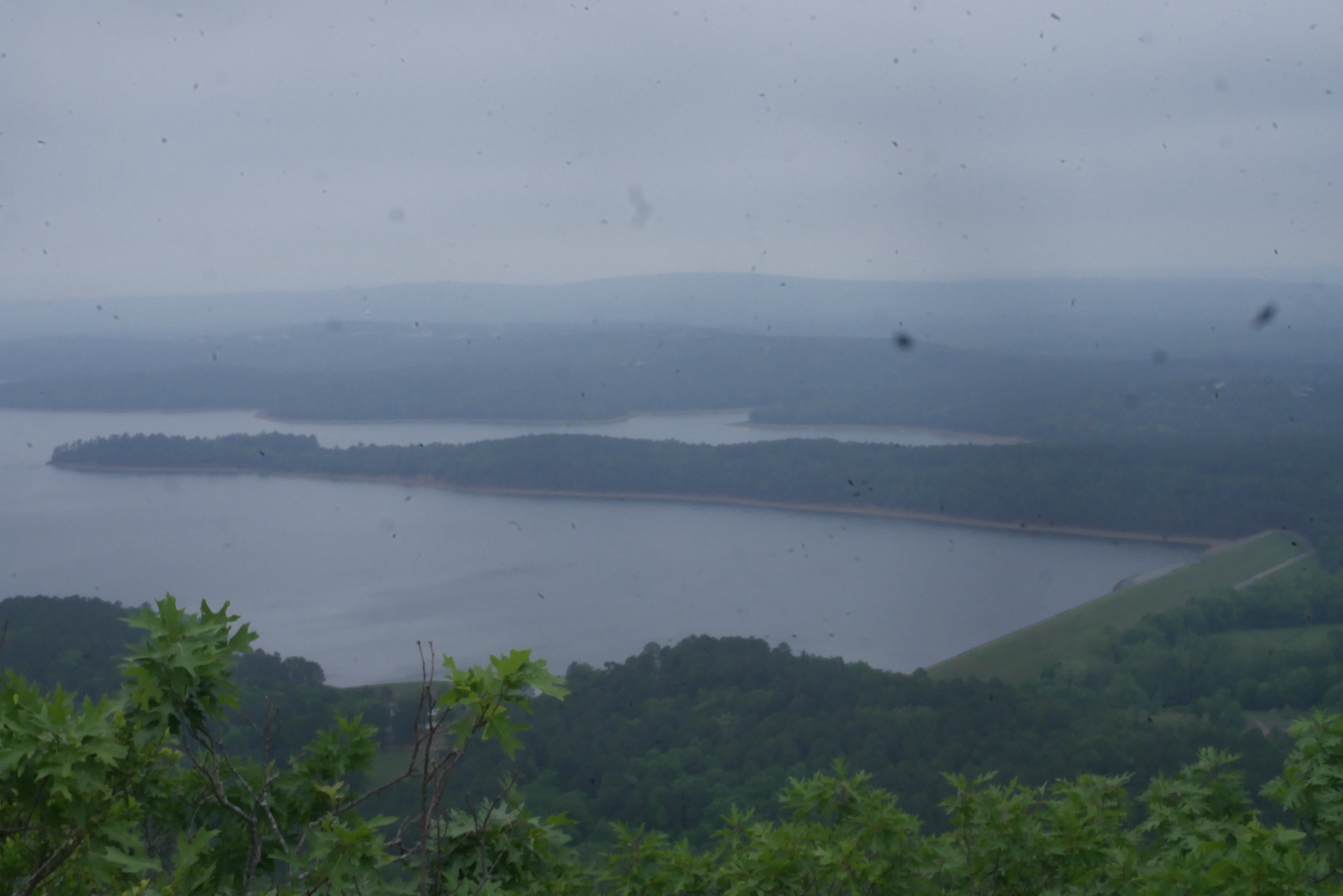
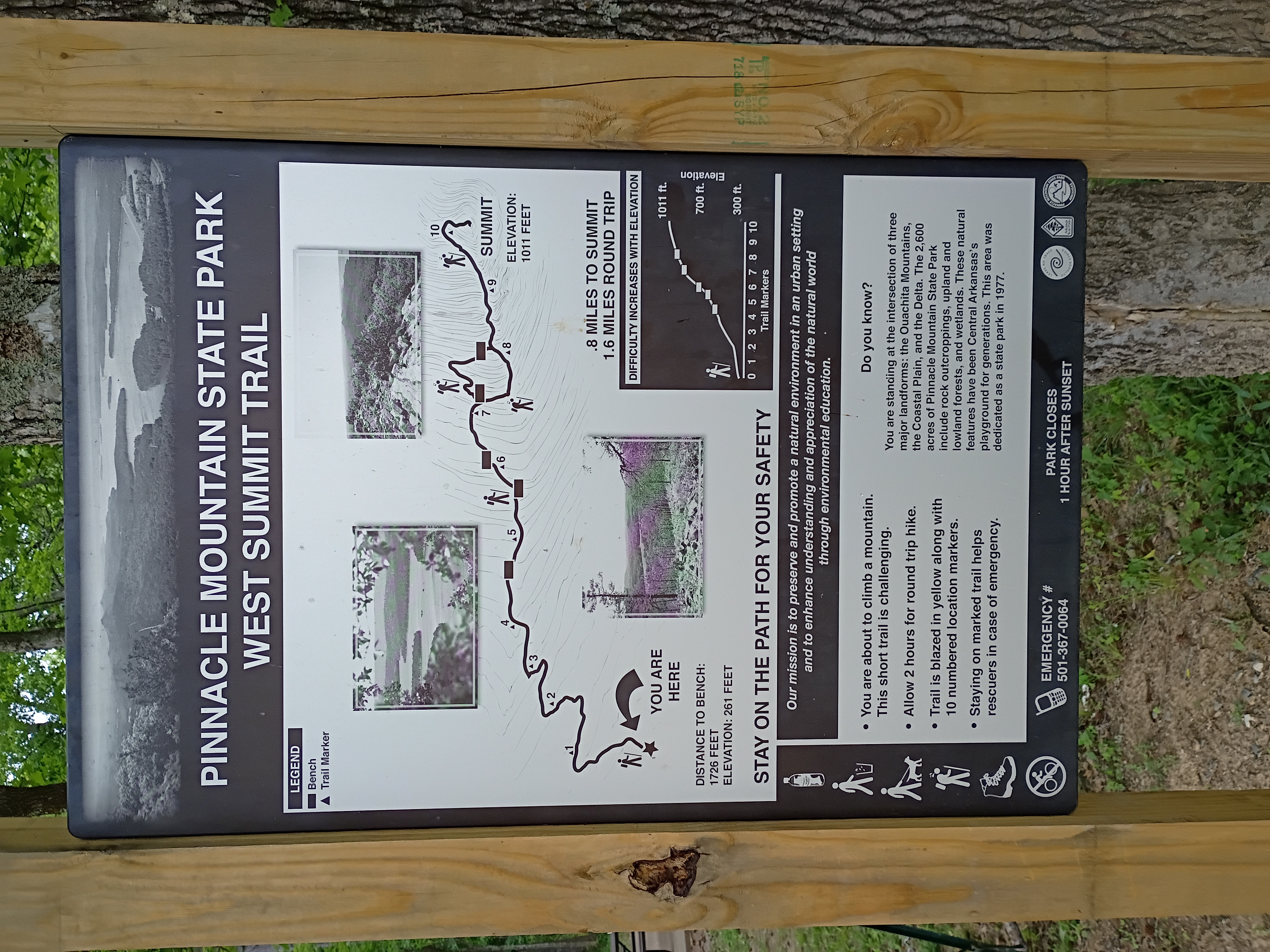
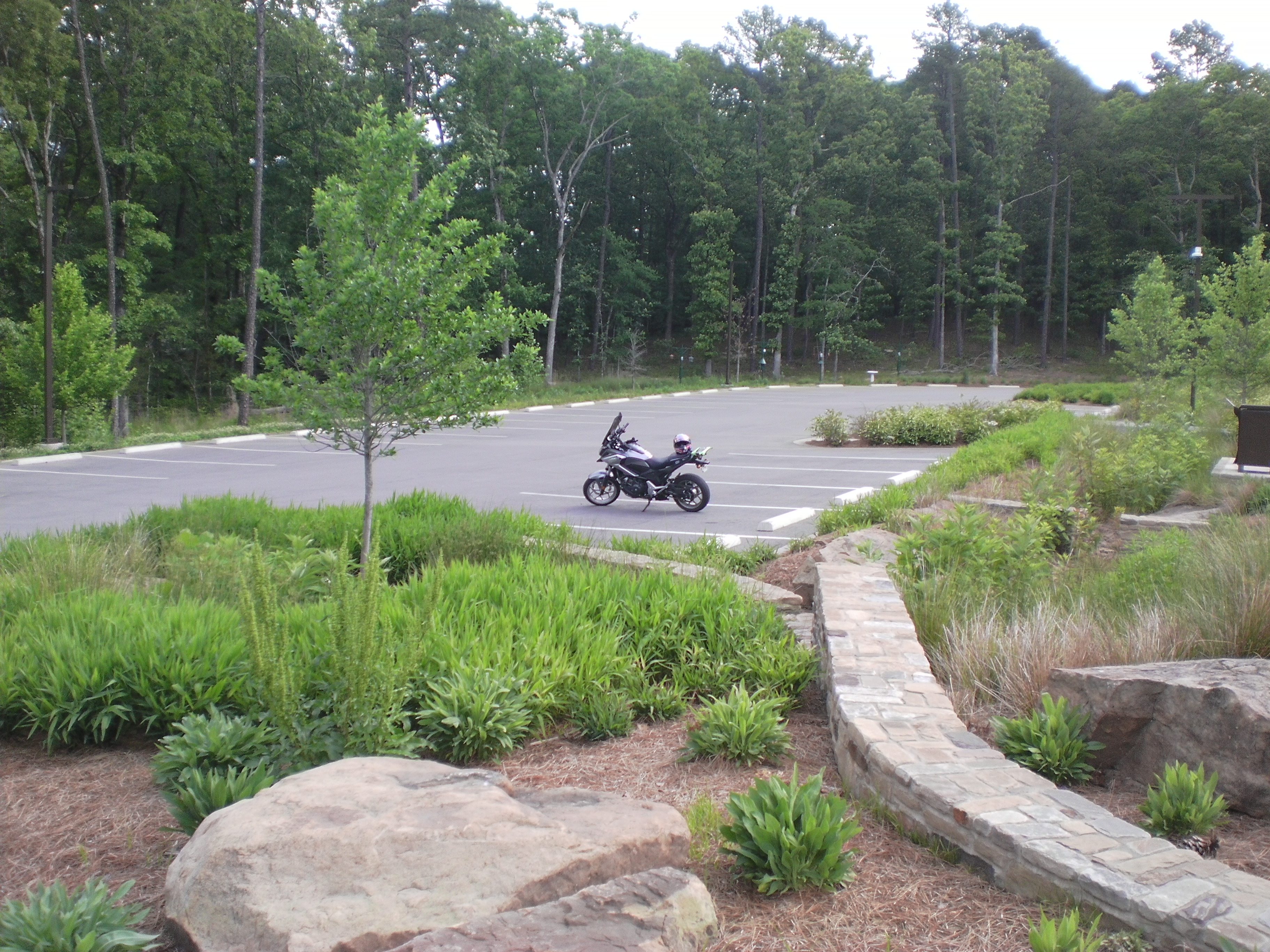
Here is a sign I only noticed afterwards on my way out! My motorcycle waiting for me at the visitor center. Oblivious to what I just endured! And one last peek at the summit.
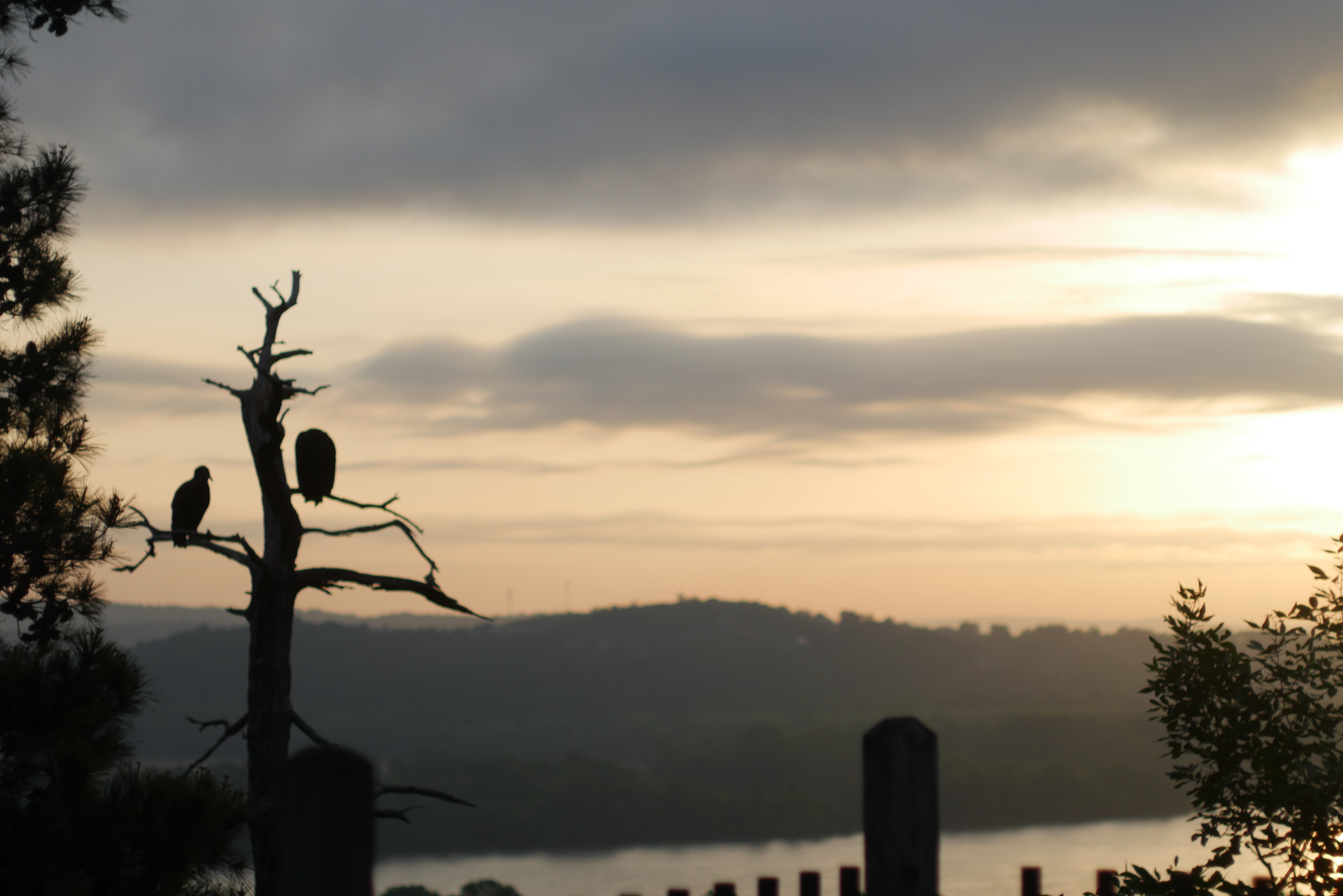
A sunrise photo from a differnt part of the park.